As a place-based partnership, we have a responsibility to the whenua on which we stand - to respect and protect it, to take a long-term view, and to make decisions informed by the history and traditions of this rohe.
Our place
South Dunedin and surrounds - stories and history
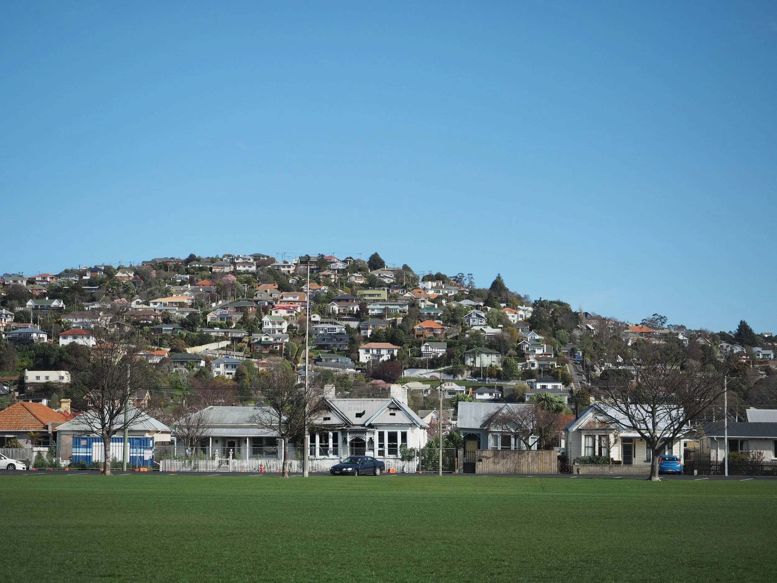
Dream South D is based in South Dunedin, in an area known locally as ‘the flat’. Its rough boundaries are the southern motorway, the slopes of Caversham, Kew and St Clair, the coastline of St Clair Whakahekerau and St Kilda Rakiātea beaches, the suburb of Tainui and Portsmouth Drive along the harbour.
Early in our formation, the board of Dream South D researched the stories and history of the whenua of South Dunedin and the surrounding area, as well as the geography of South D. If you have any additional sources of history or stories to add, please get in touch!
The website of Te Rūnanga o Ōtākou has a wealth of stories and history about Ōtākou and its settlement, the marae, the harbour, the peninsula Muaūpoko, Kāi Tahu dialect and the relationship with Taranaki iwi.
An overview of Kāi Tahu, Kāti Mamoe and Waitaha traditions and history is contained in this submission by Te Rūnanga o Ōtākou to the Otago Regional Council:
Sites of significance can be located in the Ngāi Tahu atlas Kahurumanu.
Information about the geography and changing environment of South Dunedin can be found on the Otago Regional Council’s website.
An account of the traditional names and history of coastal South Dunedin can be found on pages 4 and 5 of the St Clair-St Kilda Coastal Plan Whakahekerau-Rakiātea Rautaki Tai.
Armed for the Fray – An Early Environmental History of Dunedin by John Perry and Paul Pope is an early environmental history of Ōtepoti.