Omarama Pictures, Images and Stock Photos
Browse 400+ omarama stock photos and images available, or start a new search to explore more stock photos and images.
Most popular
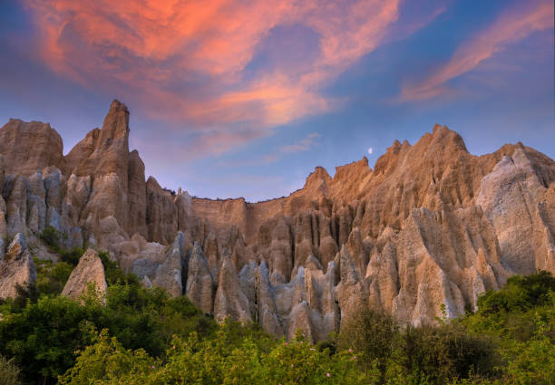
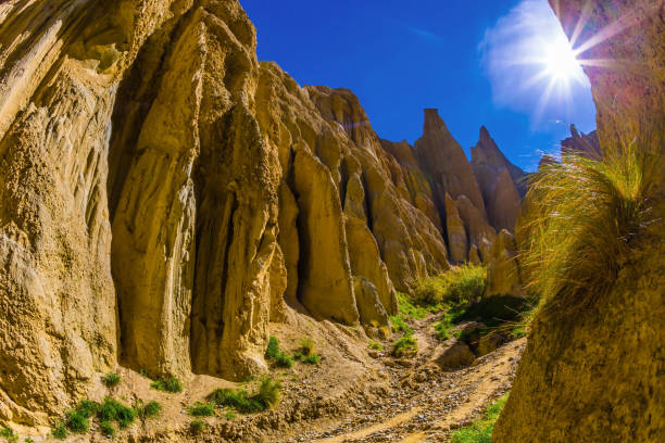
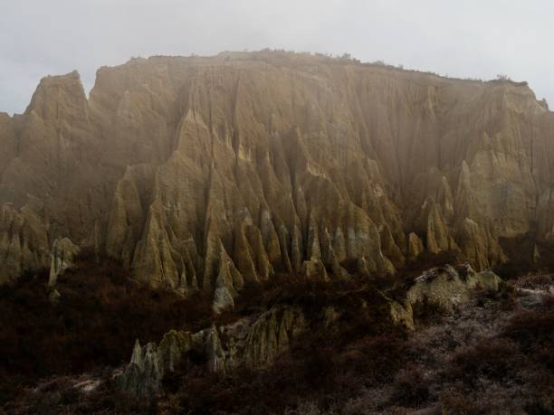
Omarama Clay Cliffs, extraordinary natural rock formations formed a 1 to 2 million years ago, Omarama, Mackenzie Basin, South Island New Zealand
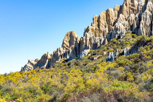
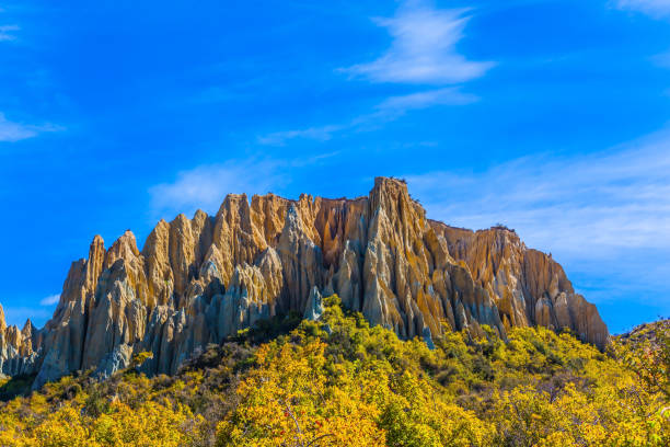
Clay cliffs Omarama New Zealand on a sunny day in autumn. Wild roses grow around the base of the cliffs. The cliffs are a local tourist attraction.
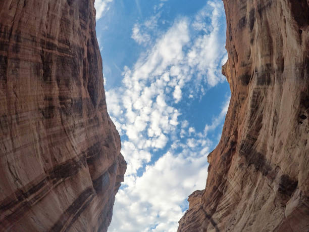
Look up at the sky
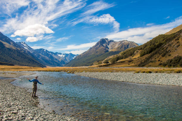
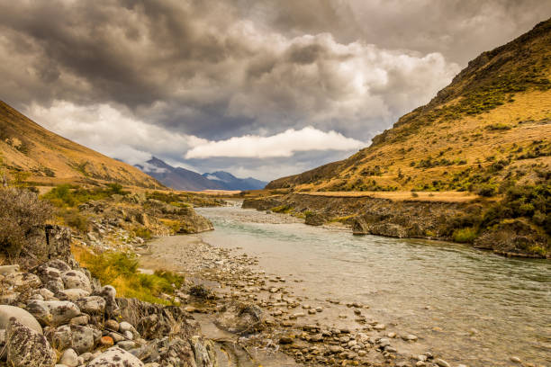
A fly fisherman casting for trout, surrounded by snow capped mountains, on the Ahuriri River, South Island, New Zealand
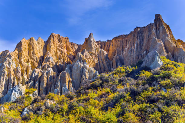
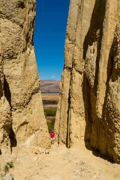
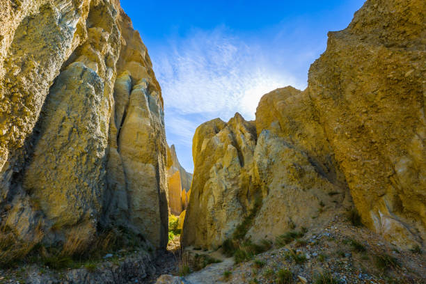
The Clay Cliffs are natural formations of land with ridges separated by narrow ravines. Omarama, New Zealand, South Island. The concept of exotic, extreme, natural and photo tourism
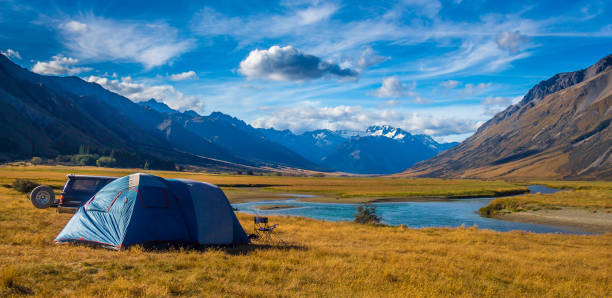
A tent pitched beside the Ahuriri River, surrounded by mountains, in Cantebury, South Island, New Zealand
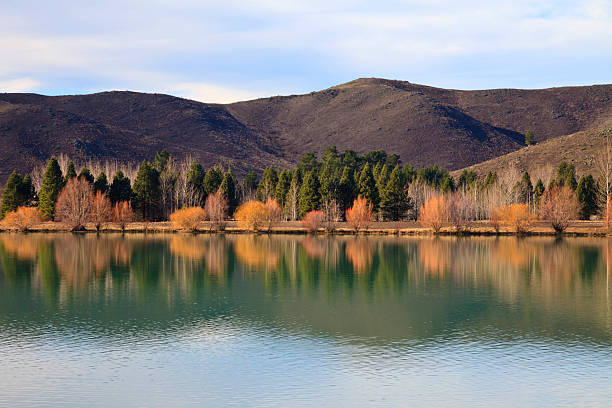
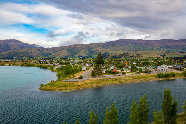
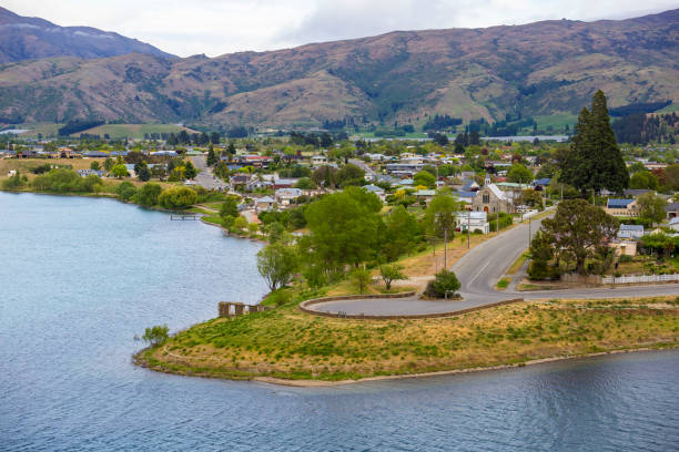
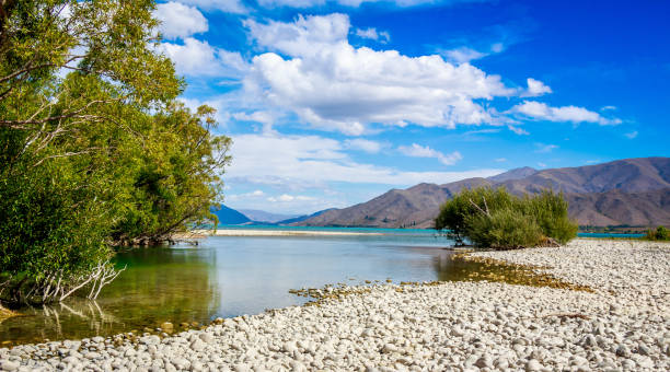
"Autumn trees reflecting in the Wairepo arm of lake Ruataniwha, Omarama, Canterbury, New Zealand"
typical New Zealand landscape
The Omarama Clay Cliffs in Quailburn, southern New Zealand
Cromwell Lookout, Queenstown / New Zealand
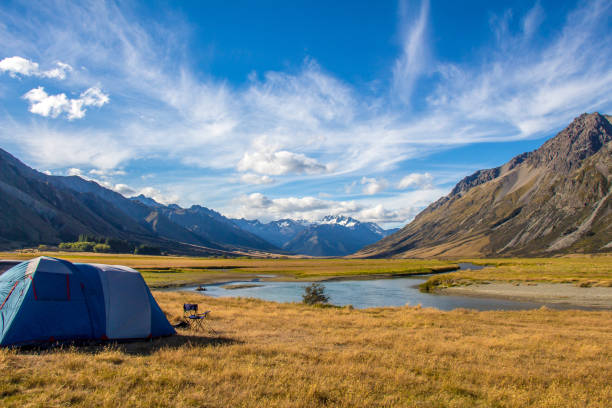
A tent pitched beside the Ahuriri River, surrounded by mountains, in Cantebury, South Island, New Zealand
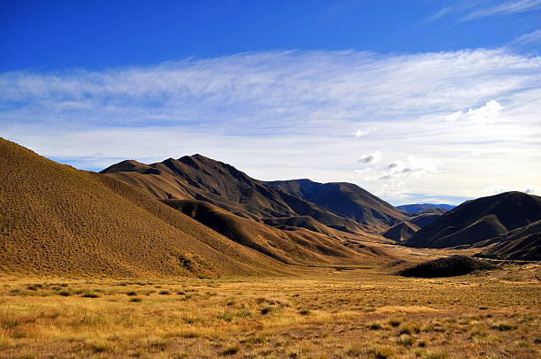
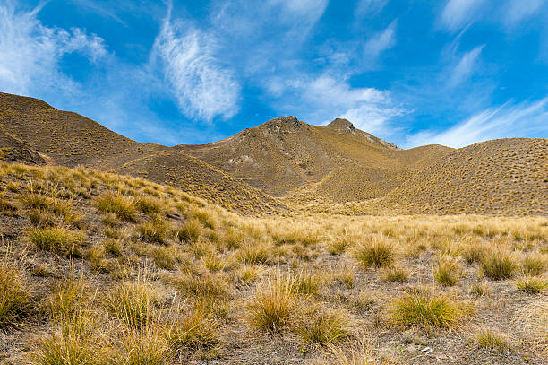
The dramatic Lindis Pass at southern island of New Zealand links the Mackenzie Basin with Central Otago. The actual pass crosses a saddle between the valleys of the Lindis and Ahuriri Rivers at an altitude of 971 metres above sea level. For many months of the year, you can expect to see snow in this mountainous area - often down to the roadside. The Pic is at times without snow!
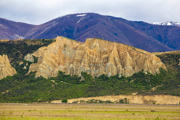
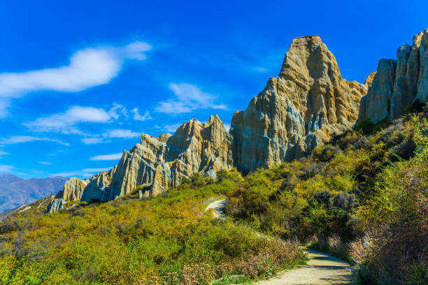
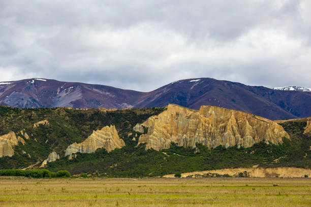
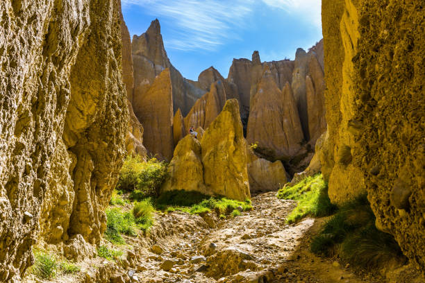
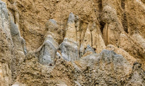
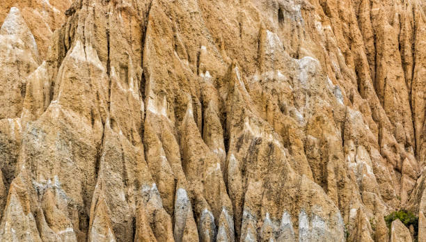
The Clay Cliffs are a geological wonder; ‘bad land’ sharp pinnacles and ridges separated by steep and narrow ravines. The Cliffs were created out of layers of silt and gravel deposited by ancient glaciers around 20 million years ago. These layers were compressed, then up-lifted by geological activity in the area, then as the high points began to be eroded pinnacles were left behind.
Scenic Clay Cliffs. Blue sky above the tops of picturesque rocks. Travel to New Zealand. The concept of active, eco and photo tourism
Clay Cliffs on South Island / New Zealand
Yellow Leaves of Ahuriri River in Autumn, Center of South Island, New Zealand
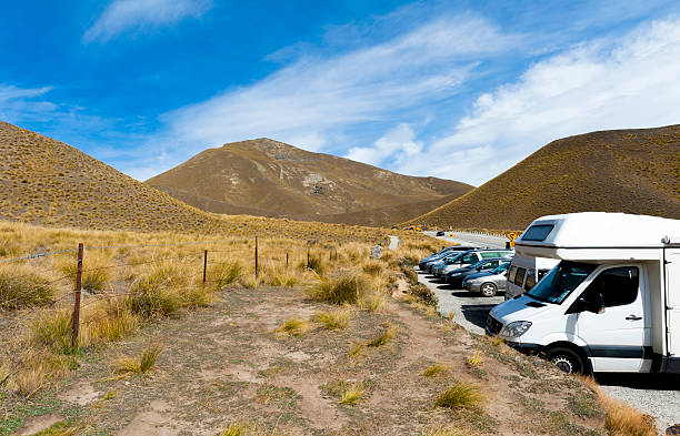
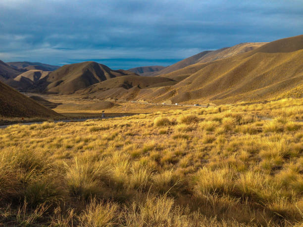
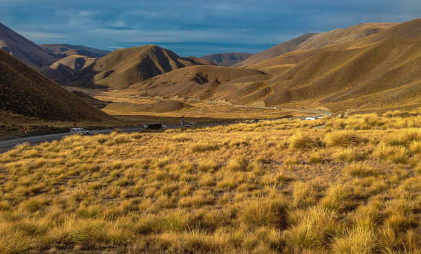
Otago, New Zealand - February 1, 2016: Car park at scenic lookout of Lindis Pass on State Highway 8 (Tarras - Omarama - Lindis Pass Road), lies between the valleys of the Lindis and Ahuriri Rivers, south island of New Zealand.
Cromwell Lookout, Queenstown / New Zealand
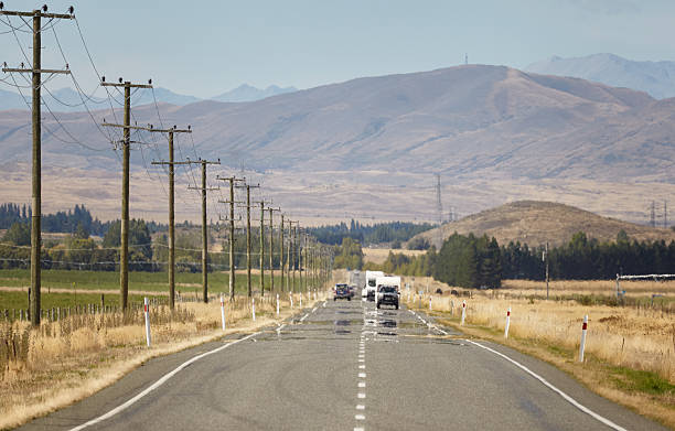
Mirage or air reflection on the road between Twizel and Omarama. Left-hand traffic with caravans and rental cars, typical new Zealand. Telephoto recording with 400mm, aperture 16. Blur due to air turbulence. Insurance, car and caravan.
Scenic lookout of Lindis Pass on State Highway 8 (Tarras - Omarama - Lindis Pass Road), lies between the valleys of the Lindis and Ahuriri Rivers, south island of New Zealand.
typical New Zealand landscape
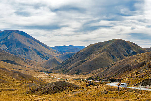
Scenic lookout of Lindis Pass on State Highway 8 (Tarras - Omarama - Lindis Pass Road), lies between the valleys of the Lindis and Ahuriri Rivers, south island of New Zealand.
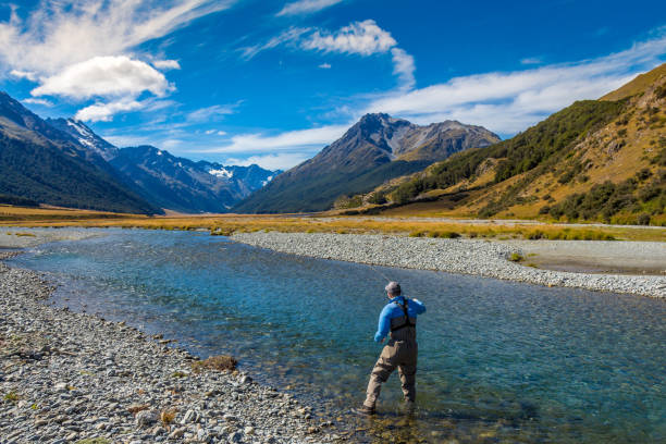
A fly fisherman casting on a beautiful mountain stream in New Zealand's South Island, Ahuriri River, Omarama
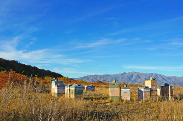
Stacks of pastel coloured bee hives in the wilds of the Waitaki District, near Omarama
Omarama, Nieuw Zeeland - 2 maart 2023: Een toerist loopt de Clay Cliffs bij Omarama binnen. Op de achtergrond is de vlakte bij Omarama te zien.
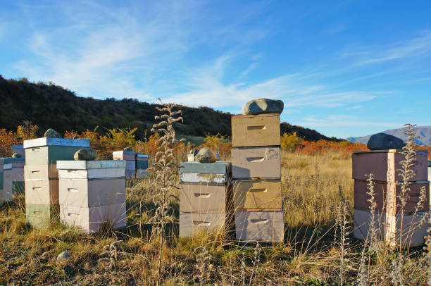
Stacks of pastel coloured bee hives in the wilds of the Waitaki District, near Omarama
Travel to New Zealand. Magnificent sunny summer day. Picturesque peaked rocks Clay Cliffs. Concept active, Ñко- and phototourism
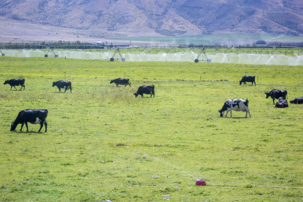
A herd of cattle graze in a field near Omarama.
The Clay Cliffs are a geological wonder; ‘bad land’ sharp pinnacles and ridges separated by steep and narrow ravines. The Cliffs were created out of layers of silt and gravel deposited by ancient glaciers around 20 million years ago. These layers were compressed, then up-lifted by geological activity in the area, then as the high points began to be eroded pinnacles were left behind.
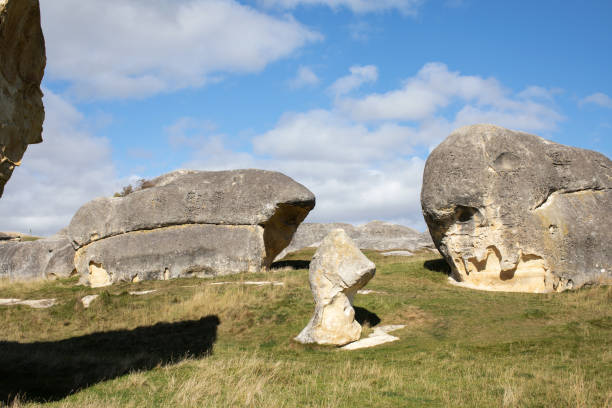
Elephant Rocks in North Otago, New Zealand. Tourist places of the south island in NZ. Natural attractions.
Clay Cliffs on South Island / New Zealand
Cromwell Lookout, Queenstown / New Zealand
Magnificent summer sunset. Scenic Clay Cliffs. Travel to New Zealand. The concept of active, eco and photo tourism
Magnificent summer sunset. Scenic Clay Cliffs. Travel to New Zealand. The concept of active, eco and photo tourism
Otago, South Island, New Zealand
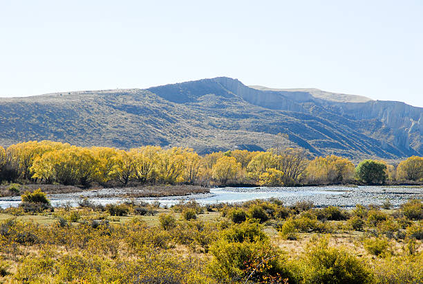
A mountain landscape and river on a cloudy day in New Zealand near Omarama, South Island
Landscape of the slow flowing Pukaki river as it flows into Lake Benmore, with mountains in the background, Twizel, New Zealand
Otago, South Island, New Zealand
Travel to New Zealand. Magnificent summer sunset. The Clay Cliffs are tall pinnacles separated by narrow ravines. The concept of active, eco and photo tourism
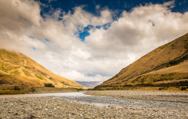
A New Zealand mountain stream, the Ahuriri River, in a V shaped valley with dramatic clouds in the background
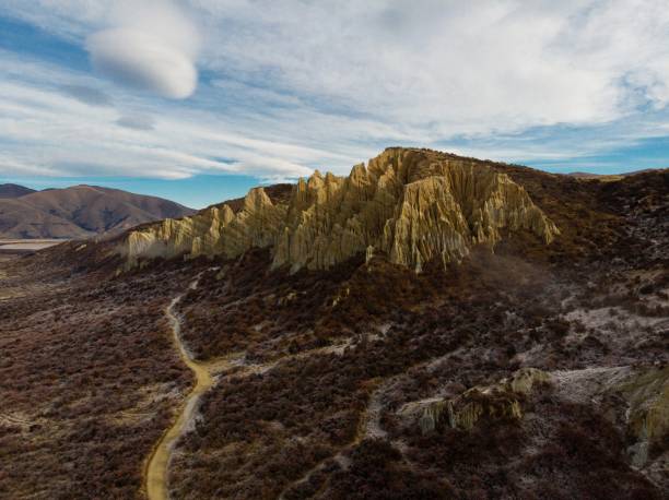
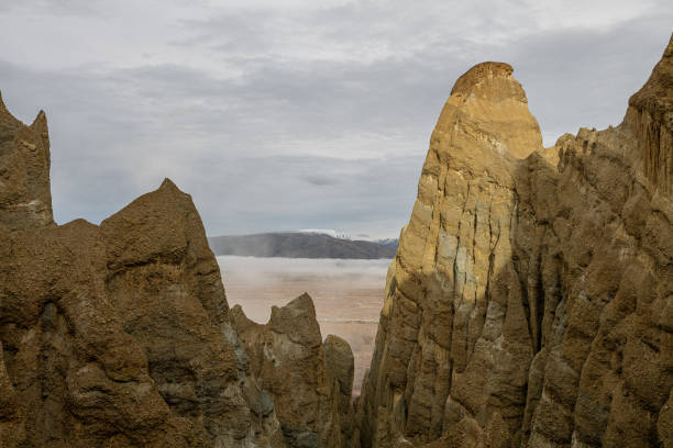
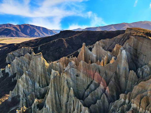
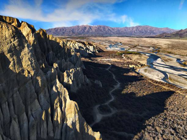
Aerial panorama view of Omarama Clay Cliffs geological natural erosion silt and sand rock formation in Canterbury South Island New Zealand
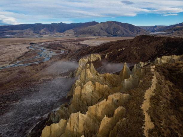
Aerial panorama view of Omarama Clay Cliffs geological natural erosion silt and sand rock formation in Canterbury South Island New Zealand
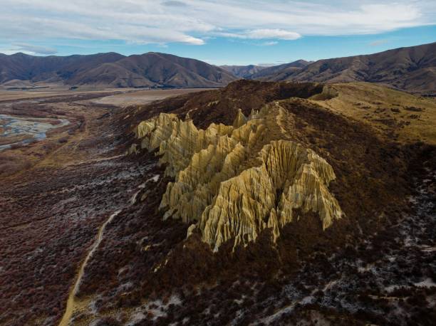
Aerial panorama view of Omarama Clay Cliffs geological natural erosion silt and sand rock formation in Canterbury South Island New Zealand
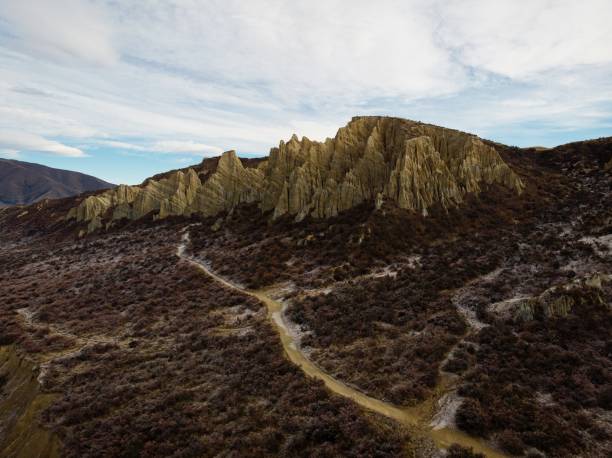
Aerial panorama view of Omarama Clay Cliffs geological natural erosion silt and sand rock formation in Canterbury South Island New Zealand
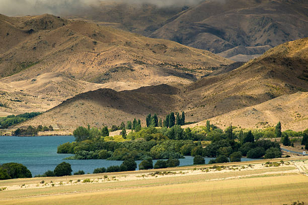
Golden hills around a blue lake in New Zealand. Some bushes around the lake. Photo was taken near Omarama on the southern island.
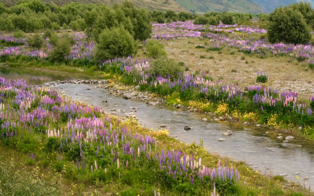
Fields of colourful lupins lining the banks of the Ahuriri river near Omarama in the South Island of New Zealand

Spiny hedgehog in green grass in daytime
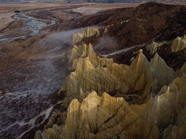
Aerial panorama view of Omarama Clay Cliffs geological natural erosion silt and sand rock formation in Canterbury South Island New Zealand
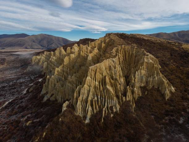
Aerial panorama view of Omarama Clay Cliffs geological natural erosion silt and sand rock formation in Canterbury South Island New Zealand
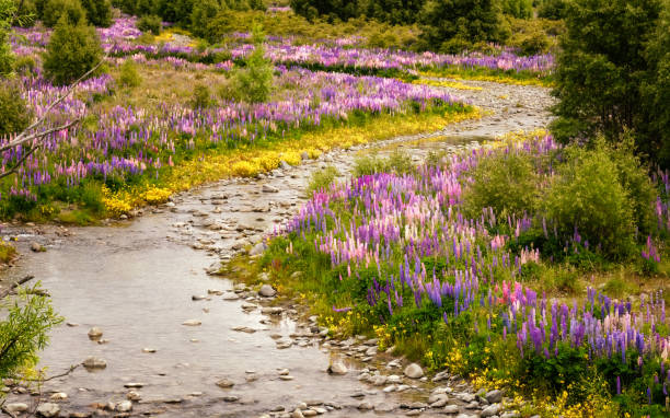
Fields of colourful lupins lining the banks of the Ahuriri river near Omarama in the South Island of New Zealand
Aerial panorama view of Omarama Clay Cliffs geological natural erosion silt and sand rock formation in Canterbury South Island New Zealand
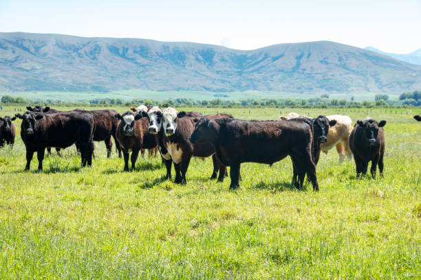
Herd of cattle in rural landscape
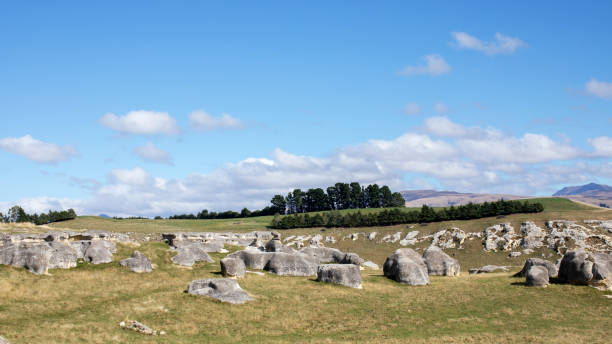
Elephant Rocks in North Otago, New Zealand. Tourist places of the south island in NZ. Natural attractions.
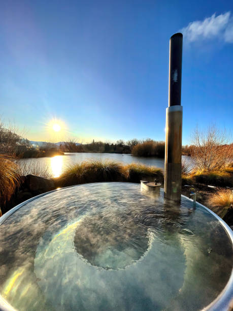
Indulge in tranquility at Omarama, South Island, New Zealand. Immerse in the warmth of a scenic hot tub as the sun sets, offering relaxation, breathtaking landscapes, and alpine serenity
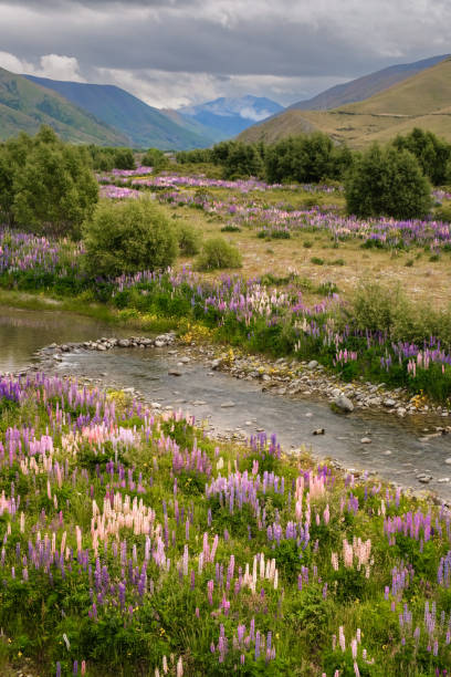
Fields of colourful lupins lining the banks of the Ahuriri river near Omarama in the South Island of New Zealand
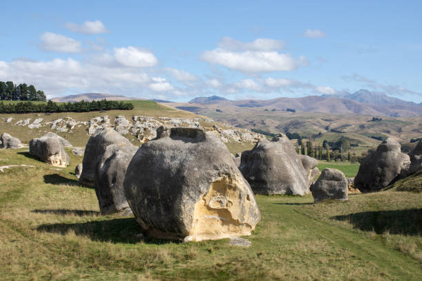
Elephant Rocks in North Otago, New Zealand. Tourist places of the south island in NZ. Natural attractions.
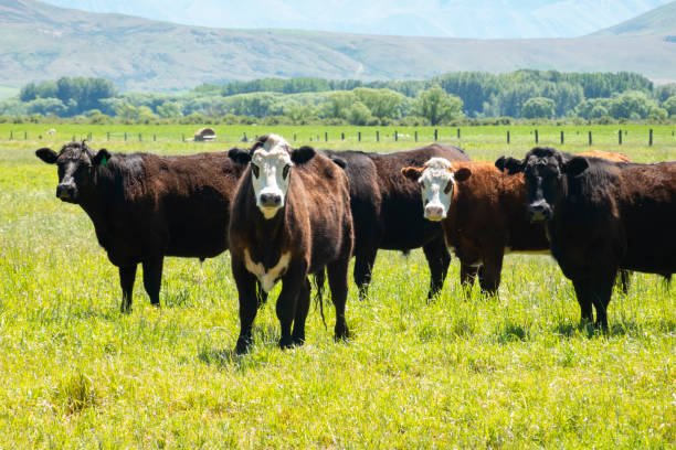
Herd of cattle in rural landscape standing looking aprehensively towards camera.
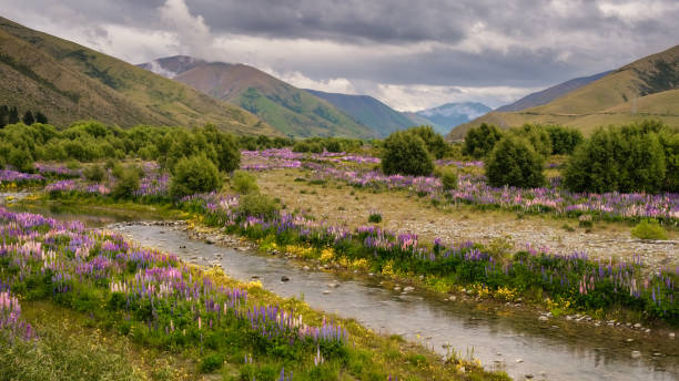
Fields of colourful lupins lining the banks of the Ahuriri river near Omarama in the South Island of New Zealand
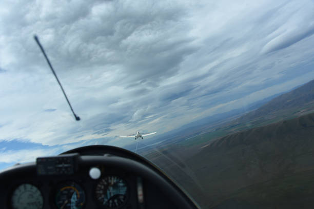
A full frame panoramic view from inside a sailplane capturing the towplane in front, prior to release over Omarama on the South island of New Zealand. Of course there is window glare, motion blur, and the horizon is tilted.
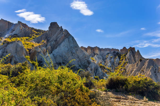
Omarama, New Zealand, South Island. The Clay Cliffs are natural formations of land with ridges separated by narrow ravines. The concept of exotic, extreme, natural and photo tourism