By Matthew Martin of 
Aftershocks continued on Friday after the 5.6 quake at 11.47pm on 30 November. Photo: Geonet
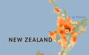
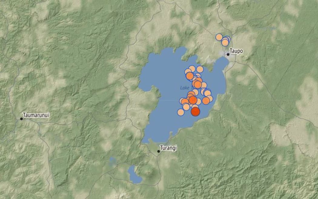
More than 680 aftershocks, 30 landslides and a beach that vanished into the depths are among the early notes from scientists who have been analysing the effects of the 5.7-magnitude quake that hit Lake Taupō late last month.
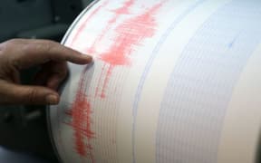
GNS Science has released its latest update on the quake, upgrading its magnitude from 5.6 to 5.7 after a more thorough data analysis.
Experts have been busy collecting and analysing data to understand exactly what happened during and following the M5.7 earthquake that struck at 11.47pm on Wednesday, 30 November, 15km southwest of Taupō.
The magnitude and rate of aftershocks had started to decline but the aftershocks were expected to continue for several weeks, GNS said.
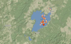
Up until Wednesday, GNS had recorded more than 680 aftershocks, with the most recent being a M3.4 on 12 December.
"Within the next 30 days, there is an estimated 11 percent chance (very unlikely) that there will be an earthquake of magnitude 5 or above in the Taupō area.
"In addition to the shaking of the ground during the earthquake, our sensitive GNSS (Global Navigation Satellite System - commonly referred to as GPS) instruments in and around Lake Taupō measured ground movement.
"Our instrument at Horomatangi reef moved 18cm upwards during the earthquake and 25cm to the southeast, which is the largest ever recorded ground movement at this location."
A small tsunami was also generated in Lake Taupō on the night of the earthquake.
"The waves travelled across the lake and surged a few metres across many beaches, leaving behind some strands of pumice, sticks and sand.
"The larger surge at Wharewaka Point, where the beach is known to have retreated by some 20m, may be associated with a possible underwater landslide."
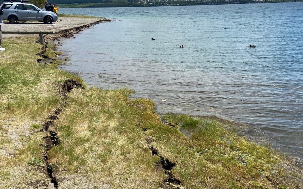
Cracked and slumping soil on the shore of Lake Taupō after the 30 November earthquake. Photo: Geonet
GNS said that in some places the lakeshore had been undercut by waves and small areas had collapsed a metre or so back.
"However, major changes happened at Wharewaka Point near Taupō, with a substantial washout of the foreshore and beach, and pumice debris stranded to a maximum of about 40m inland from the lake.
"We are running computer models of the tsunami to understand how it might have been generated and spread across the lake. We are also investigating the specific cause of the effects at Wharewaka Point."
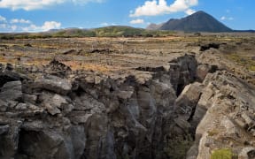
GNS said more than 30 landslide events were triggered by the M5.7 earthquake.
"This is not unexpected, given the severity of the shaking, and the timing of the earthquake, which followed several weeks of particularly wet weather."
Most landslides were small slips on steep cut slopes close to roads, while larger rockfalls were identified closer to the epicentre in the vicinity of Hatepe.
On the White Cliffs along the eastern shore north of Hatepe, a several-hundred-metre-long section of the cliffs collapsed into the lake, generating a large white plume of sediment that could be seen stretching north along the coastline several days after the earthquake.
"The most notable single earthquake-triggered land movement was located over 15km north of the epicentre, at Wharewaka Point.
"It is possible an underwater landslide occurred at the location of the popular swimming beach, causing 170m of the shoreline to subside into the lake, with a maximum retreat of up to 20m.
"While still under investigation it is possible that the collapse of the beach into the lake drew water in behind it, generating the local tsunami that washed up on to the picnic area behind it."
Underwater landslides are known to be some of the largest landslides on Earth and can trigger tsunamis, however, there is currently no evidence to suggest the Wharewaka Point landslide generated the larger lake-wide tsunami observed following this earthquake.
Minor volcanic unrest has been ongoing at Taupō Volcano since May 2022 and the volcanic activity level was raised to 1 in September 2022.
* This story originally appeared on Stuff.